
Agricultural land use in Brasil (1940-2012) - Dias et al. (2016)
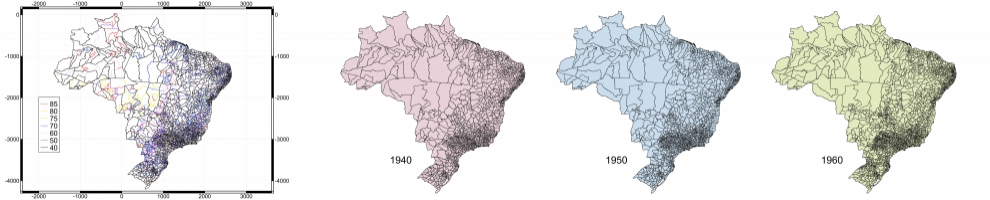
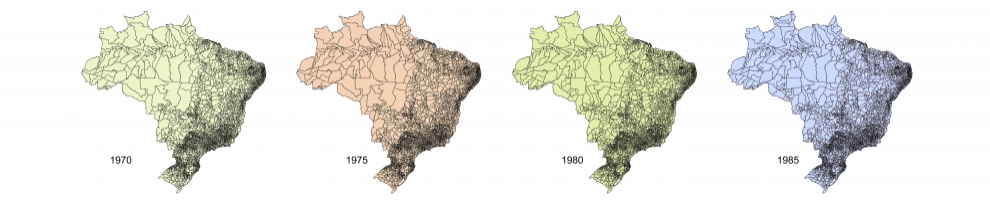
We present a new explicitly spatialized database of agriculture areas in Brazil which includes croplands (total between 1940 and 2012, and planted area of soybean, maize and sugarcane between 1990 and 2012), pasturelands (natural and planted between 1940 and 2012) and productivity (soybean, maize and sugarcane yield and stocking rate of cattle between 1990 and 2012). We reconstructed the agricultural historical patterns by combining agricultural census data and remote sensing data for the whole of Brazil at 30" spatial resolution (approximately 1 km x 1 km).
These maps described in Dias et al. (2016) can be visualized here.
To know more about this work, see the press release and the White Paper.
Download - ( FTP - 150 GB )